Nantes Street Map app review
Introduction
If you’re planning on traveling to Nantes, France this year then to make navigating the city a little easier you might like to download Nantes Street Map onto your iPhone and iPad as it provides a handy offline map for those times when you can’t get access to Google Maps.
The best iPad apps for booking hotelsI would almost always use Google Maps as my primary source of navigation information but if you’re in a pinch then it definitely will prove invaluable to have an offline map app like this, especially if you take a wrong turn and end up getting lost without access to an Internet connection.

Nantes Street Map
Nantes Navigation
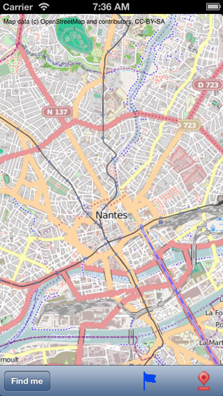
What we have here is a niche addition to the Travel category of the App Store that is simply an offline map of the city of Nantes in France, designed to act as an alternative to Google Maps or other GPS-based maps.
The best iPhone apps for booking flights-2021If you do happen to have GPS functionality on your iOS device then you’ll be pleased to know that you can use it with this app to quickly identify your current location, and from there you should be able to navigate the streets of Nantes for more easily.
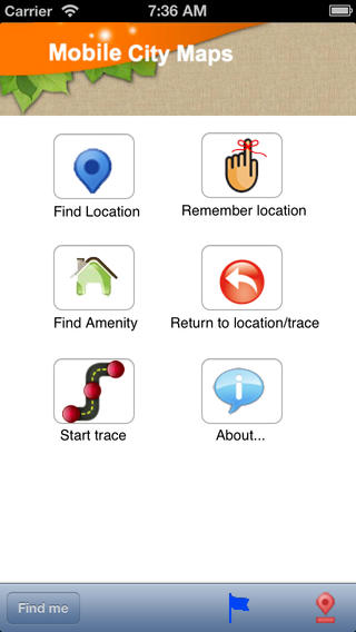
Find Local Amenities With No Fuss
Nantes Street Map also provides a detailed record of the locations you’ve been to so you can easily retrace your steps, and there is a list wherein all of the amenities and local facilities are categorized in alphabetical order for easier browsing.
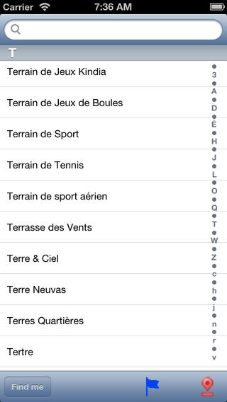
The best iPad apps for booking holidaysWhat’s more, this app even features an integrated search function for amenities, so if you need a pharmacy or you’re just feeling peckish and want to find a decent pain au chocolat then you should have no problem finding what you need.
Nantes Street Map
Pros & Cons
Pros
- Access a detailed offline map for Nantes, France
- Suitable for tourists and locals alike
- Use the integrated search facility to quickly find locations, amenities, and more
- Amenities and local facilities are categorized in alphabetical order for easier browsing
- View a detailed record of the locations you’ve been to so you can easily retrace your steps
- Use your iOS device’s integrated GPS to see your current location displayed on the map
- All of the data is stored locally on your device so there is no need for an Internet connection
Cons
- There is nothing negative to say about this app
Final Words
Nantes Street Map is definitely worth downloading onto your iPhone and iPad if you’re traveling to Nantes and don’t want to have to carry around a paper map, so be sure to keep it handy on your device before you leave home! Out of all the map apps out there, this is one of the best for Nantes.
Nantes Street Map